Jacksonville State University
Master’s Degree in Geographic Information Sciences and
Technology
2025 – Present
Jacksonville, Alabama

GIS Professional
I am Dinesh Lamichhane, a geospatial professional specializing in GIS, remote sensing, drone-based mapping, and geospatial data analysis. My work focuses on applying advanced spatial technologies to support disaster risk management, infrastructure planning, environmental monitoring, and sustainable development.
I am a Geomatics Engineer with advanced expertise in Geographic Information Systems (GIS), remote sensing, drone-based mapping, and geospatial surveying. My work combines spatial data analysis, field-based surveying, and geospatial visualization to develop practical solutions for real-world challenges.
I have contributed to projects related to disaster risk assessment, humanitarian mapping, infrastructure planning, tourism mapping, and land use analysis. By integrating satellite imagery, UAV data, GNSS surveys, and spatial modeling, I transform complex geospatial datasets into clear insights that support planning, resilience, and sustainable development.
Recognitions and milestones from my academic and professional journey.
Jacksonville State University - College of Arts, Humanities, and Sciences
Winner – Humanitarian and Disaster Response Category
First Runner-Up – IOE Pashchimanchal Campus, Tribhuvan University
Awarded merit-based scholarship during Bachelor’s Degree in Geomatics Engineering
A few selected projects from my portfolio.
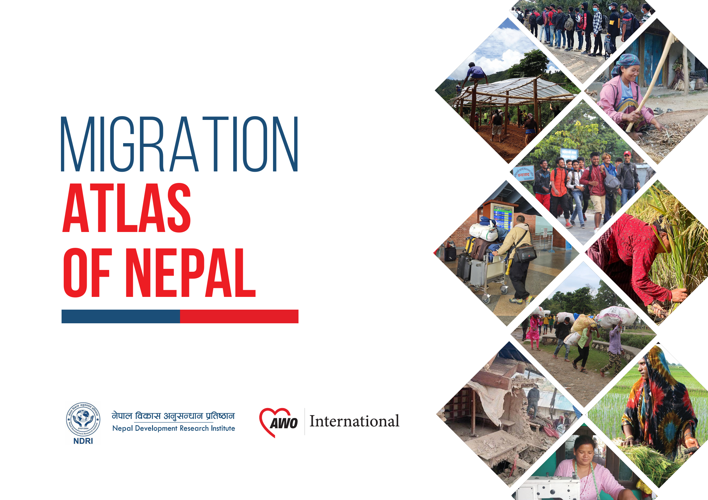
Analyzed migration patterns across Nepal using spatial data and demographic datasets to develop an interactive migration atlas supporting policy planning and regional development analysis.
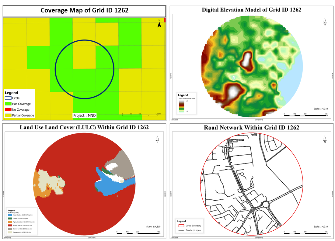
Conducted GIS-based spatial analysis for cell tower planning in Malaysia to identify optimal locations and improve network coverage and performance.
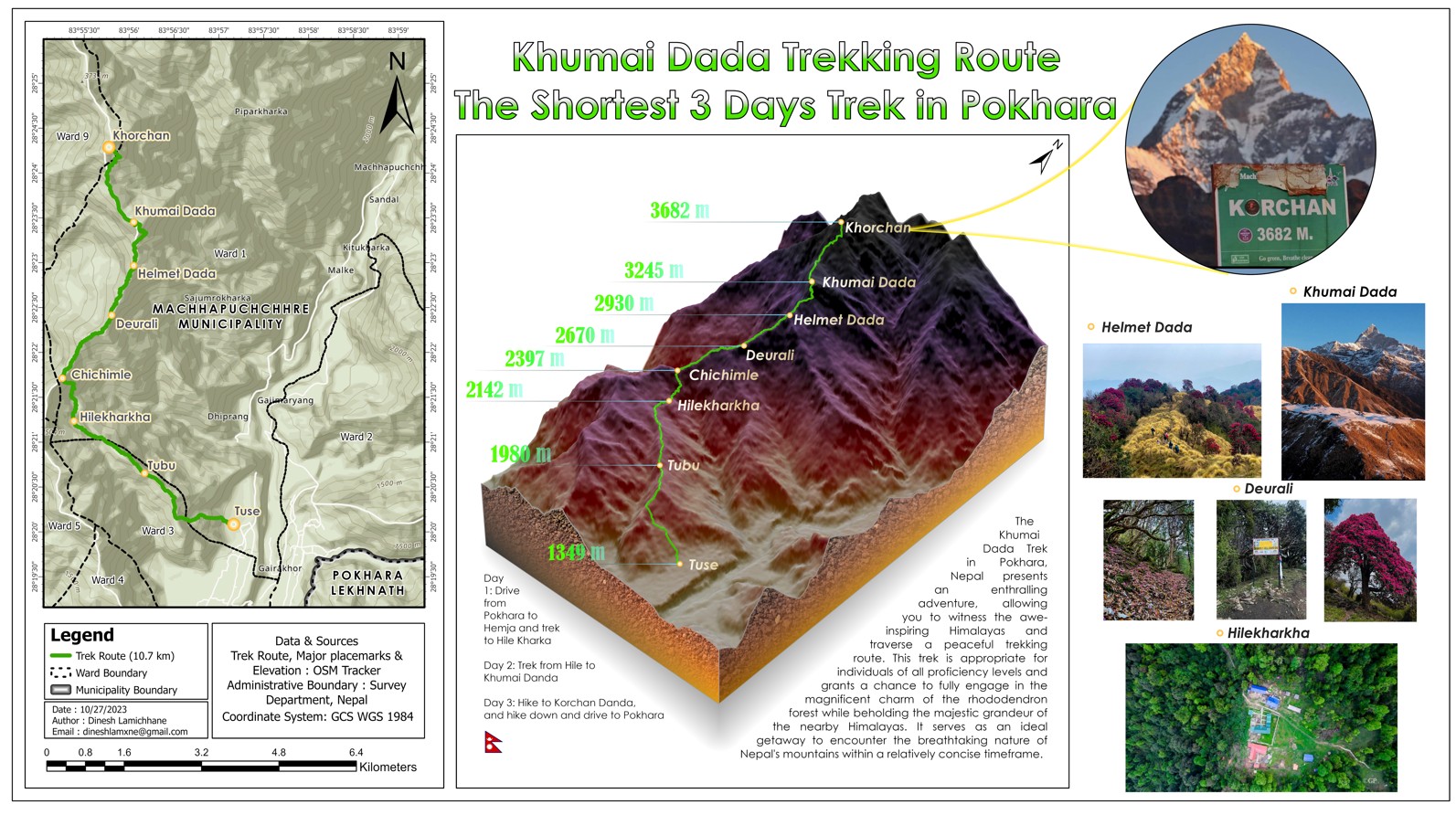
Created a detailed cartographic visualization of the Khumai Dada trekking route near Pokhara, Nepal, integrating GIS-based terrain modeling and spatial analysis. The map highlights key trekking stops, elevation points, and terrain features to support route planning and tourism awareness.
A few certifications and learning highlights.
Australian Water School
University Corporation for Atmospheric Researchers
Issued by Esri
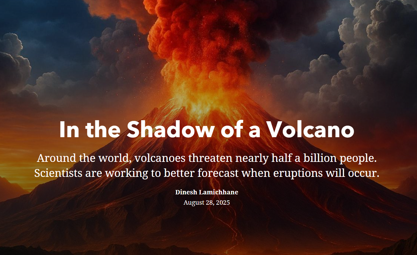
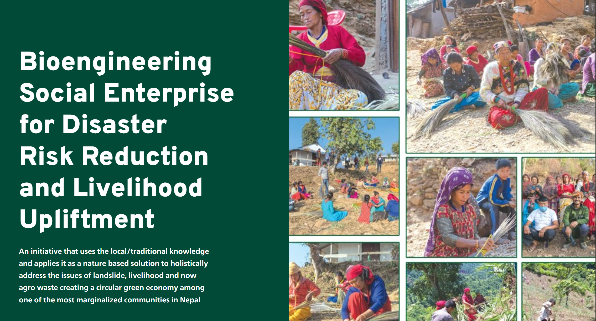
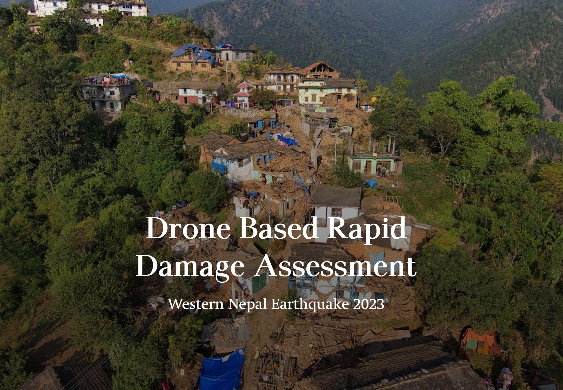
Selected story-driven geospatial works combining maps, narrative, and visual communication.
Interactive tools and web applications built for geospatial analysis and visualization.
An interactive earthquake visualization and damage assessment tool that maps real-time and historical seismic events, simulates impact zones, and generates damage reports for disaster preparedness and emergency planning worldwide.
An automated watershed analysis tool that works with a free global open-source DEM - making it instantly usable anywhere in the world - as well as custom DEM uploads for higher resolution or localized terrain data. Select a river or pour point and it automatically delineates watershed boundaries, traces downstream flow paths, and maps the full drainage network. Built for water resource management, flood risk assessment, and hydrological research without requiring advanced GIS software.
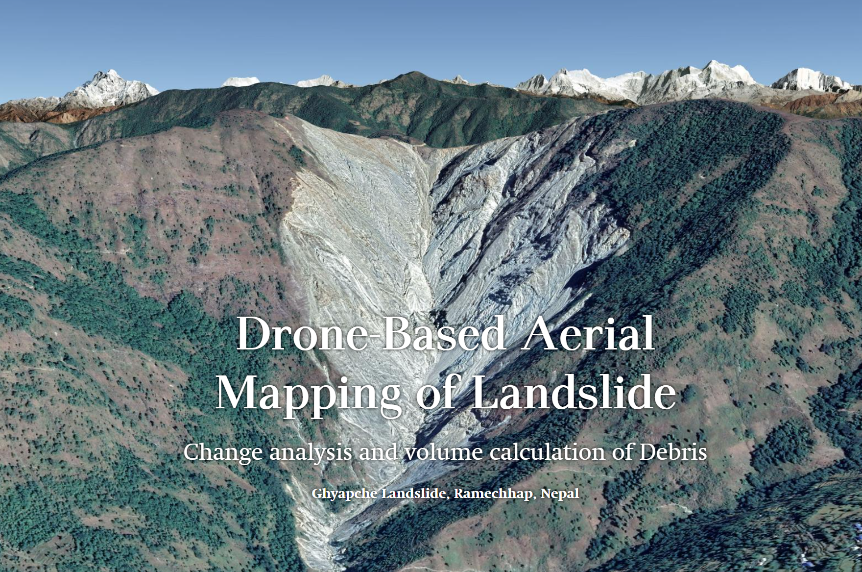
Photogrammetric 3D models produced from drone-based aerial surveys and inspections.
A high-resolution 3D model of Martin Hall produced as a byproduct of a drone-based rooftop inspection survey. Captures detailed surface geometry and texture for structural analysis and documentation.
A high-resolution 3D model of a river-adjacent roadway corridor created from UAV RGB and thermal mapping data collected along the Tallapoosa River, Alabama. Captures detailed terrain, roadway, and riverbank geometry to support flood impact assessment, infrastructure monitoring, erosion analysis, and documentation of collapse-prone areas.