ArcGIS
Spatial Data Analysis
Atlas Development
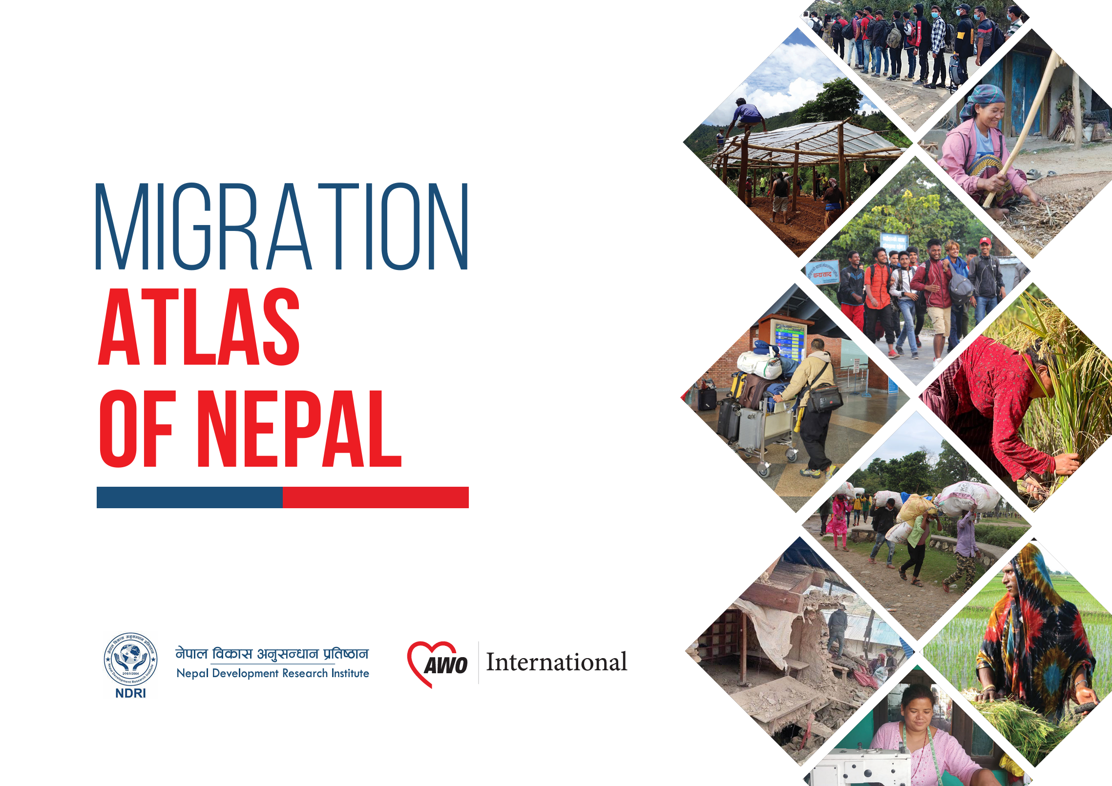
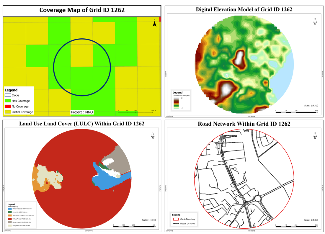
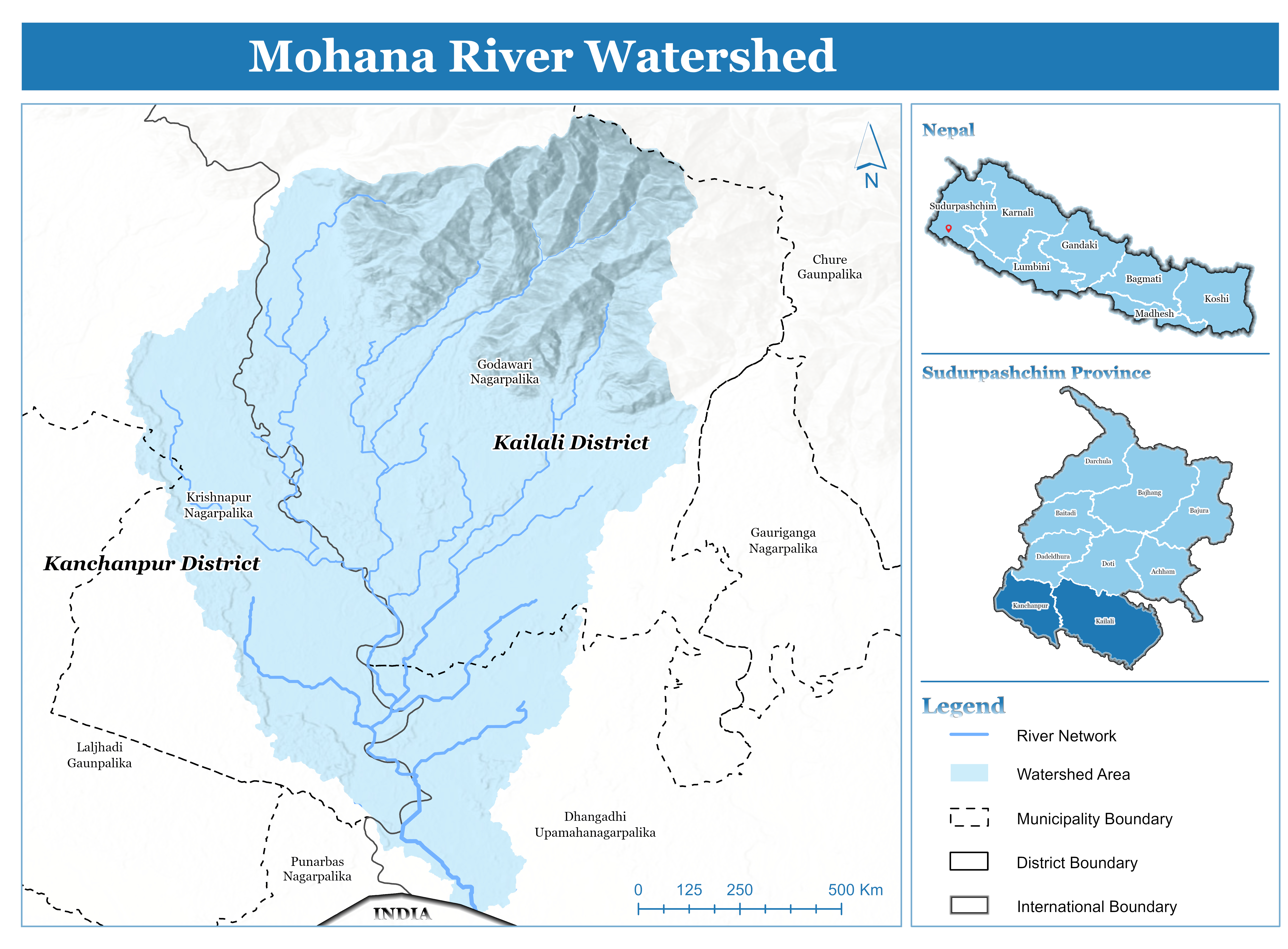
Migration Atlas of Nepal – Spatial Analysis of Internal and International Migration Patterns
Conducted spatial analysis of internal and international migration trends across Nepal using demographic datasets and geospatial techniques. Developed an interactive migration atlas to visualize migration flows and regional patterns, supporting evidence-based policy planning, socio-economic analysis, and regional development strategies.


.jpg)